

Features
Details
Discover the beauty and charm of West Virginia with our West Virginia State Wall Map. Measuring 16.5" x 18.5", this laminated map is the perfect companion for anyone exploring the state. With its easy-to-read design and vibrant colors, this map will guide you through all major thoroughfares, secondary roads, and freeway interchanges, ensuring you never get lost on your journey.
Not only does this map provide essential navigation information, but it also showcases the state's stunning topography with shaded relief. You'll get a three-dimensional sense of West Virginia's landscape, giving you a deeper appreciation for its natural beauty. It also highlights landmarks, recreational areas, and distance markers, making it easier for you to plan your trips and explore the hidden gems of the state.
Our West Virginia State Wall Map is designed with precision and accuracy, thanks to the expertise of our cartographic professionals. The detailed city inset maps of Charleston, Huntington, Morgantown, and Wheeling ensure that you never miss any street or landmark in these urban areas. The county and city indices further simplify navigation by allowing you to locate even the smallest towns effortlessly.
When it comes to map products, trust the quality and reliability of Globe Turner, one of the leading producers in the USA. Our laminated state map is durable and will withstand frequent use, ensuring it stays in excellent condition over time. Whether you're a local resident, a visitor, or an avid traveler, this West Virginia State Wall Map is a must-have addition to your collection.
Don't miss out on exploring the wonders of West Virginia. Get your West Virginia State Wall Map today and start embarking on unforgettable adventures. Click here to purchase now.
Discover More Best Sellers in Maps
Shop Maps
Rand McNally Easy to Fold: Pennsylvania State Laminated Map
 Maps - Rand McNally Easy to Fold: Pennsylvania State Laminated Map


Gallopade Publishing Group Virginia Write-On/Wipe-Off Desk Mat, State Map (9780635107237) Large
 Maps - Gallopade Publishing Group Virginia Write-On/Wipe-Off Desk Mat, State Map (9780635107237) Large

Dallas & Fort Worth Regional Area Major Arterial Wall Map 42"H x 52"W (Laminated)
Maps - Dallas & Fort Worth Regional Area Major Arterial Wall Map 42"H x 52"W (Laminated)

Rand McNally State Maps: Oklahoma and Texas (2 Maps)
Maps - Rand McNally State Maps: Oklahoma and Texas (2 Maps)
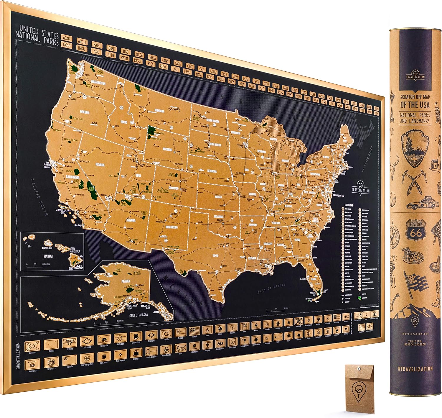
 Maps - Travelization Scratch Off Map of the USA with National Parks and Highest peaks (XL - 36" x 24", Black)

Physical Poster Map of Israel - 20 x 32.5 Inches - Paper Laminated
Maps - Physical Poster Map of Israel - 20 x 32.5 Inches - Paper Laminated
 Maps - 𝟗" 𝐖𝐨𝐫𝐥𝐝 𝐆𝐥𝐨𝐛𝐞 for kid & adult, Classroom & Office Desk, Geographic Globe with iron Stand, colorful Magnetic Push Pins & magnifier & handkerchief, 360° Horizontal Rotation Homeschool World Globe Blue

National Geographic Maps: Middle East Wall Map - Compact - 21.5 x 16.25 inches
Maps - National Geographic Maps: Middle East Wall Map - Compact - 21.5 x 16.25 inches

