

Features
This up to date map of the Dallas and Fort Worth regional area features up-to-date major roads, cities, highways, zip code boundaries, lakes, hospitals, high schools and more. Every street is shown, with all major roads labeled (including all Farm-to-Market designations). Freeways (with exit numbers), toll roads, passenger and freight rail lines + stations, airports, marinas, hospitals, colleges, parks, high schools, military installations, major points of interest, rivers, major terrain features, and current zip codes are all included.
Map coverage area: West to include Willow Park and Decatur, North include Denton, Prosper and Melissa, East to include Royse City and Kaufman and South to include Midlothian and Joshua
Laminated which makes it perfect for dry-erase markers
42"H x 54" W
Details
Looking for an up-to-date and comprehensive map of the Dallas and Fort Worth regional area? Look no further! Introducing our Dallas & Fort Worth Regional Area Major Arterial Wall Map. This laminated map measures 42"H x 52"W and is packed with all the information you need. With detailed major roads, cities, highways, zip code boundaries, lakes, hospitals, high schools, and more, this map has it all!
Not only does this map include all the major roads, but it also has every street labeled, including Farm-to-Market designations. You won't miss a single detail when navigating the Dallas and Fort Worth area. From freeways with exit numbers to toll roads, passenger and freight rail lines, airports, marinas, hospitals, colleges, parks, high schools, military installations, major points of interest, rivers, major terrain features, and current zip codes - everything is right at your fingertips.
What sets this map apart is its laminated surface, making it perfect for use with dry-erase markers. If you're planning a road trip, need to mark multiple locations, or simply want the freedom to write notes or draw on the map, this is the ideal choice. No need to worry about smearing or smudging - your markings will stay clear and intact.
Don't miss out on this must-have map for anyone living in or visiting the Dallas and Fort Worth regional area. Stay informed, navigate with ease, and never be lost again. Get your Dallas & Fort Worth Regional Area Major Arterial Wall Map today!
Click here to get your Dallas & Fort Worth Regional Area Major Arterial Wall Map now and start exploring with confidence!
Discover More Best Sellers in Maps
Shop Maps
You've Reached Sam: A Heartbreaking YA Romance with a Touch of Magic

 Maps - You've Reached Sam: A Heartbreaking YA Romance with a Touch of Magic
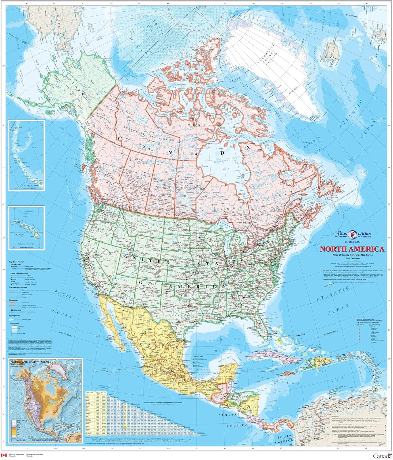
North America Wall Map - Atlas of Canada - 34" x 39" Laminated
 Maps - North America Wall Map - Atlas of Canada - 34" x 39" Laminated
 Maps - Atlas & Green Scratch Off World Map, All US States, Large 28x16.5" Travel Map. Places I've been Map World Poster Scratch Off Map. Accessories & Gift Tube

National Parks Map Poster with USA Travel Destinations (24W x 16H inches)
Maps - National Parks Map Poster with USA Travel Destinations (24W x 16H inches)

Gifts Delight Laminated 24x31 Poster: Political Map - Map Asia
 Maps - Gifts Delight Laminated 24x31 Poster: Political Map - Map Asia
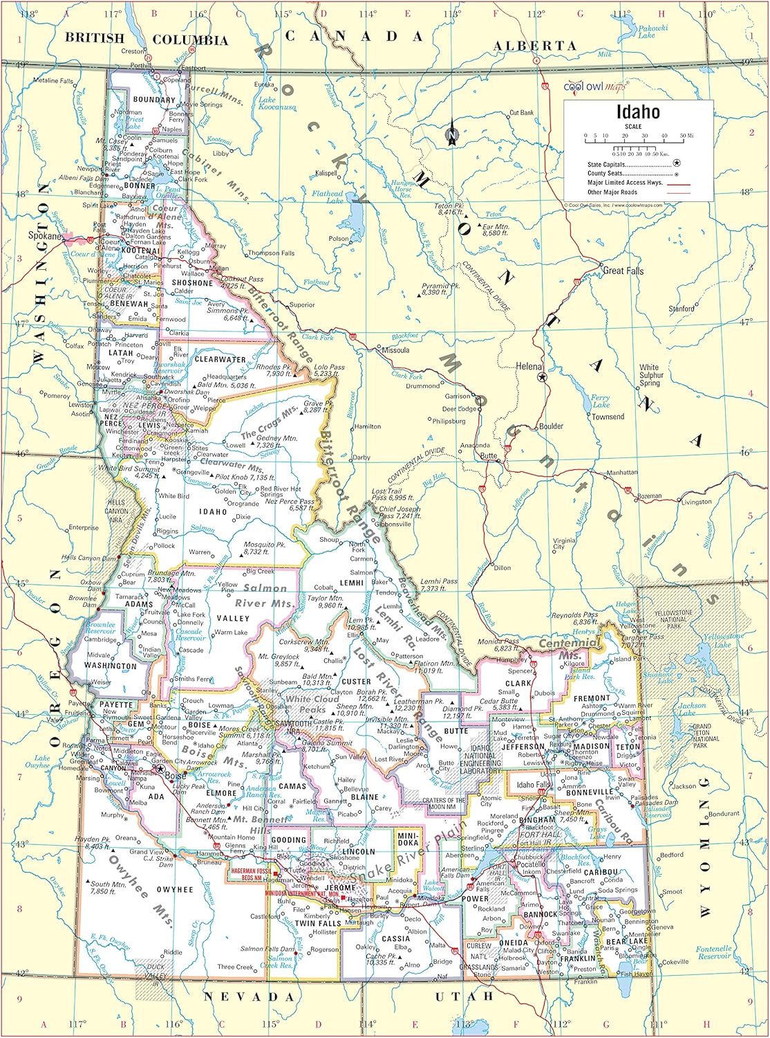
Cool Owl Maps Idaho State Wall Map Poster Rolled 24"Wx32"H (Laminated)
Maps - Cool Owl Maps Idaho State Wall Map Poster Rolled 24"Wx32"H (Laminated)

National Geographic: Alaska Wall Map - 28 x 22 inches - Laminated
Maps - National Geographic: Alaska Wall Map - 28 x 22 inches - Laminated
 Maps - HISTORIX Vintage 1909 Alaska State Map - 18x24 Inch Vintage Map of Alaska Wall Art Decor - US Geological Survey of State of Alaska Map Poster - Historic Alaska Wall Map - Old Map Alaska

