

Features
Details
Elevate your knowledge of South Carolina with our South Carolina State Wall Map! Designed with vibrant colors and easy-to-read fonts, this laminated map is the perfect companion for exploring the beautiful state. Whether you're planning a road trip or just want to expand your geographical knowledge, this map will provide you with all the necessary details. It includes major thoroughfares, secondary roads, freeway interchanges, rest areas, distance markers, landmarks, recreational areas, and more. You'll be able to navigate South Carolina like a pro!
Experience South Carolina's diverse topography like never before with our state map. The shaded relief on the map gives you a three-dimensional sense of the state's terrain. From the majestic mountains to the stunning coastline, you'll appreciate the beauty and intricacies of South Carolina. Our cartographic experts have ensured that the map is up to date with the latest street information, so you can have the most accurate representation of the cities. Speaking of cities, detailed insets of Charleston, Columbia, Greenville-Spartanburg, and Myrtle Beach are included, making it easy to explore these popular destinations.
Locating cities and towns in South Carolina has never been easier, thanks to the county and city indices on our state map. Whether you're looking for the capital city or the smallest town, you can quickly find what you're looking for. Our map is created by Globe Turner, one of the leading producers of map products in the USA. You can trust that our map is of the highest quality and provides accurate information.
Expand your knowledge and explore all that South Carolina has to offer with our South Carolina State Wall Map. Start your adventure today by grabbing your own map and embark on a journey of discovery. Don't miss out on this opportunity to enhance your travel experience. Get your South Carolina State Wall Map now!
Click here to explore South Carolina with our state wall map!
Discover More Best Sellers in Maps
Shop Maps


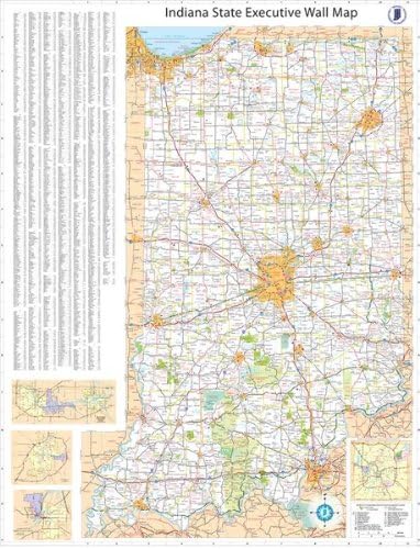
36x54 Indiana State Official Executive Laminated Wall Map
 Maps - 36x54 Indiana State Official Executive Laminated Wall Map

Los Angeles, California Wall Map, Small - 21.5" x 14.5" Matte Plastic
Maps - Los Angeles, California Wall Map, Small - 21.5" x 14.5" Matte Plastic

Wisconsin State Wall Map - 18.5" x 20.75" Paper
Maps - Wisconsin State Wall Map - 18.5" x 20.75" Paper

National Geographic: Medieval England Wall Map - 22.75 x 29.25 inches - Paper Rolled
 Maps - National Geographic: Medieval England Wall Map - 22.75 x 29.25 inches - Paper Rolled

Kopoo Lord of The Rings - Middle Earth MAP Poster - 24x36
Maps - Kopoo Lord of The Rings - Middle Earth MAP Poster - 24x36
 Maps - Globe Trekkers - Medium Cork Globe with 100 Colored Push Pins & Durable Steel Base - 7.3 Inches | Great for Educational Purposes & Mapping Travels | Does Not Have Plastic Strip Like Most


