

Features
18.5 x 20.75 inches. Printed on paper. Flat map, tubed for shipping. This colorful, easy-to-read state map of Wisconsin identifies all major thoroughfares, secondary roads, freeway interchanges, rest areas, distance markers, landmarks, recreational areas, and more. Shaded relief on the state map provides a three-dimensional sense of Wisconsin's topography. Detailed city inset maps of Appleton, Green Bay, Madison, Milwaukee, Oshkosh, and Racine/Kenosha are based on the latest street information from our cartographic experts. County and city indices make it simple to locate even the smallest town. Created by Globe Turner, one of the leading producers of map products in the USA.
Details
Explore the beauty of Wisconsin like never before with our Wisconsin State Wall Map. Measuring at an impressive 18.5" x 20.75", this paper map is a must-have for every travel enthusiast. Printed on high-quality paper, our map is not only visually appealing but also durable, ensuring that it will accompany you on countless adventures.
No more struggling to find your way around the state! Our map clearly identifies all major thoroughfares, secondary roads, freeway interchanges, and rest areas. You'll never miss a landmark or a recreational area again, as they are all conveniently marked on the map. Plus, the shaded relief provides a three-dimensional sense of Wisconsin's topography, making your exploration even more immersive and exciting.
But that's not all - we've taken it a step further to make your journey even easier. Our map includes detailed city inset maps of Appleton, Green Bay, Madison, Milwaukee, Oshkosh, and Racine/Kenosha. These city maps are based on the latest street information from our cartographic experts, ensuring accurate navigation. Moreover, our county and city indices make it a breeze to locate even the smallest town, saving you time and effort in finding your desired destination.
As a leading producer of map products in the USA, Globe Turner ensures superior quality and attention to detail. Every inch of our Wisconsin State Wall Map is designed to enhance your travel experience. Don't miss out on this opportunity to own a map that combines functionality with aesthetic appeal.
Ready to embark on your Wisconsin adventure? Get your Wisconsin State Wall Map today and witness the beauty of the state like never before!
Click here to explore our Wisconsin State Wall Map now!
Discover More Best Sellers in Maps
Shop Maps

 Maps - National Geographic United States Wall Map - Executive (43.5 x 30.5 in) (National Geographic Reference Map)

Columbia River Gorge West, OR No. 428S (Green Trails Maps)
Maps - Columbia River Gorge West, OR No. 428S (Green Trails Maps)

National Park Quarter Collection Book Folder Map
Maps - National Park Quarter Collection Book Folder Map
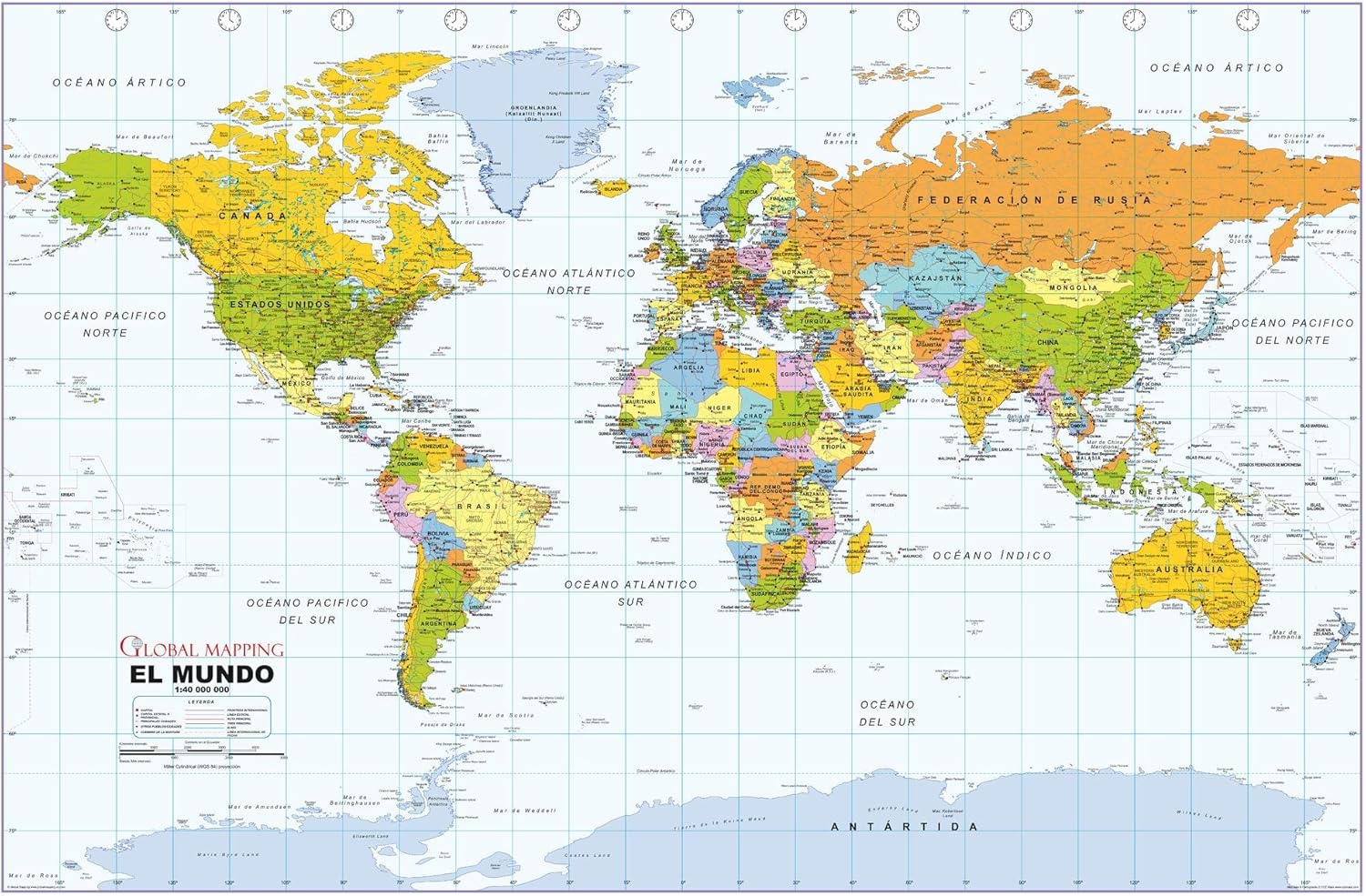 Maps - Political World Wall Map, Spanish Language, Mapa político del mundo, idioma español - 40.75 x 27 inches - Paper - Flat Tubed

Cool Owl Maps Mexico Wall Map Poster - Rolled 28"x24" (Paper)
Maps - Cool Owl Maps Mexico Wall Map Poster - Rolled 28"x24" (Paper)
 Maps - Waypoint Geographic Contemporary Series USA Wall Map, Laminated World Map Poster, Educational Wall Art For Home, Classroom, or Office, Unique Gifts, 48” x 38”
 Maps - Tennessee State Parks Bucket List Poster Gift Set - Features 12x18” Map of Tennessee State and National Parks, Magnetic Frame and Set of Pushpins - Great Tennessee Gift, Unique Mens Gifts

Collins Tartans Map of Scotland - 30.75 x 40 in - Paper, multi
 Maps - Collins Tartans Map of Scotland - 30.75 x 40 in - Paper, multi
 Maps - Outus 18 Pcs Travel The Map Hanging Paper Fans Decorations Adventure Awaits Bulletin Board Classroom Decorations Map Themed Ceiling Wall Garland for Kids Classroom Homeschool Office Decor
