
National Geographic: Ghost Fleet of The Outer Banks 1970 Map - Historic Wall Map Series - 11.75 x 21.25 inches - Paper Rolled

$16.99
Features
UNIQUE PRODUCT FOR SHIP LOVER: This map explores hundreds of the ill-fated ships that have sank off the Atlantic coast over the past four hundred years.
CLASSY MAP IN OFFICE OR HOME: You can't go wrong with this beautiful production from National Geographic. A guaranteed conversation piece!
QUALITY PRINT: Printed on thick paper suitable for display on your home, school or office wall.
ICONIC CARTOGRAPHY: National Geographic's maps are the standard others are measured against. You can count on this product having the highest quality content and display in the industry.
TRUSTED CONTENT: National Geographic prides itself on the calibre and rigour of its editorial process so that you can count on having accurate information on every map.
Details
Looking for a unique gift for a ship lover? Look no further! Introducing the National Geographic: Ghost Fleet of The Outer Banks 1970 Map. This one-of-a-kind map delves into the history of hundreds of ill-fated ships that have met their watery grave along the Atlantic coast over the past four hundred years. It's the perfect conversation starter and a must-have addition to any maritime enthusiast's collection.
Imagine the elegant and classy touch this historic wall map will bring to your office or home. With its vintage appeal and exquisite craftsmanship, it's sure to impress anyone who lays eyes on it. National Geographic is renowned for producing top-notch quality maps, and this one is no exception. Printed on thick paper, it's suitable for display on your walls, whether it be at home, school, or the office.
When it comes to cartography, National Geographic sets the gold standard. Their iconic maps are not only visually stunning but also provide accurate and reliable information that is trusted by millions worldwide. With the Ghost Fleet of The Outer Banks 1970 Map, you can expect nothing less than the highest quality content and display in the industry. It's a testament to National Geographic's commitment to excellence.
Don't settle for anything less than the best. National Geographic's editorial process ensures that every map they create is meticulously researched, ensuring the highest level of accuracy. When you purchase the Ghost Fleet of The Outer Banks 1970 Map, you can trust that you're getting the most reliable and trustworthy information available.
Experience the fascinating history of the ill-fated ships that once sailed along the Atlantic coast. Add a touch of elegance to your space with this beautiful map. Trust in National Geographic's unparalleled reputation for quality and accuracy. Don't miss out on this extraordinary piece - order your National Geographic: Ghost Fleet of The Outer Banks 1970 Map today!
Discover More Best Sellers in Maps
Shop Maps
Dallas & Fort Worth Regional Area Major Arterial Wall Map 42"H x 52"W (Laminated)

 Maps - Dallas & Fort Worth Regional Area Major Arterial Wall Map 42"H x 52"W (Laminated)

24x36 World and USA Classic Premier 3D Two Wall Map Set (Laminated)
Maps - 24x36 World and USA Classic Premier 3D Two Wall Map Set (Laminated)

Phoenix, Arizona Wall Map - 11.5" x 10.75" Paper
 Maps - Phoenix, Arizona Wall Map - 11.5" x 10.75" Paper

Pacific Ocean Wall Map - 34" x 27.75" Matte Plastic
Maps - Pacific Ocean Wall Map - 34" x 27.75" Matte Plastic
 Maps - United States Map - USA Poster, US Educational Map - With 2 Letter State Abbreviation - for Ages Kids to Adults- Home/School/Office- Printed on 110Lb Card Stock - 11" x 17" Inches - Bulk Pack of 10
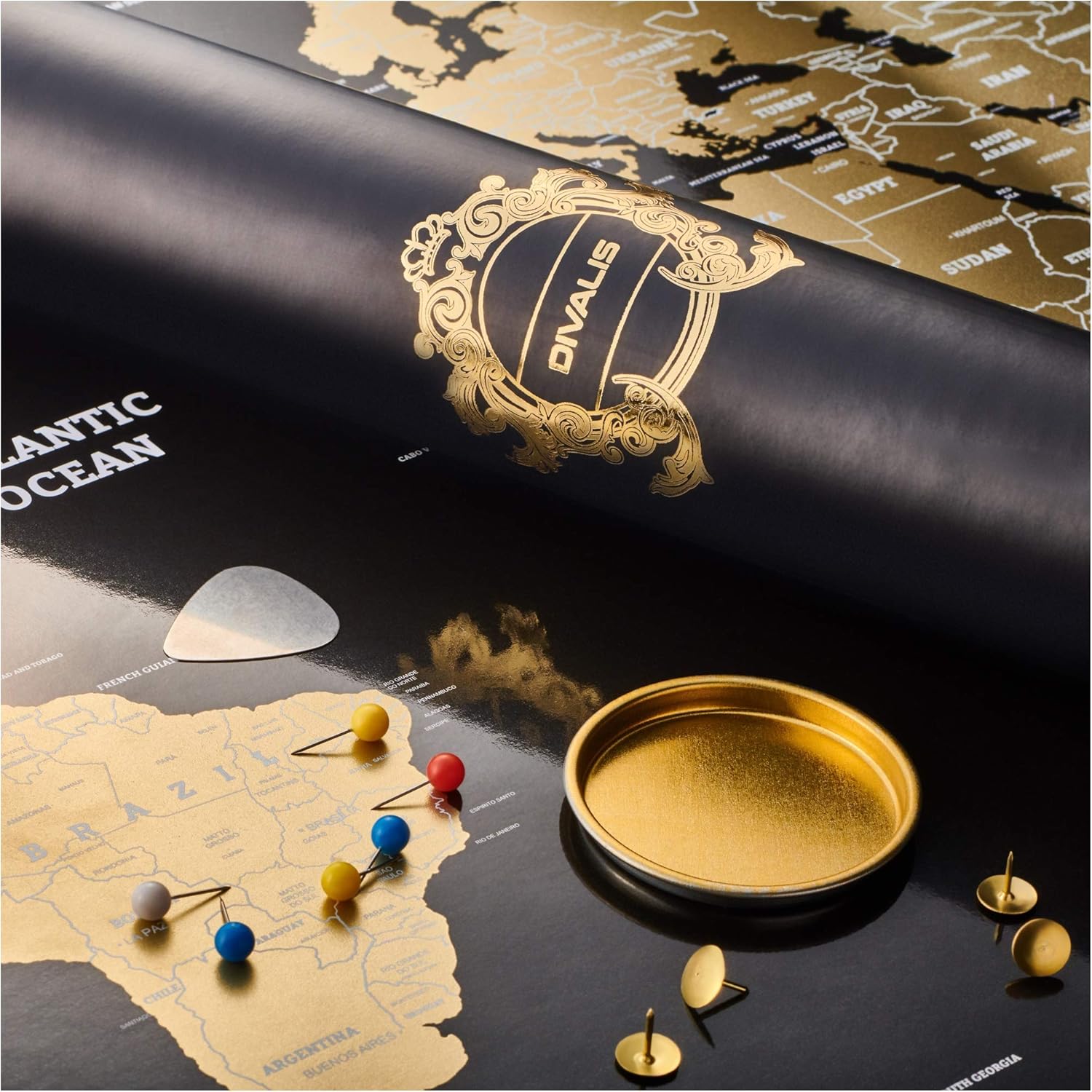 Maps - Scratch Off World Map - Extra Large - Easy to Frame Scratchable World Map Poster - Best Travel World Map Gift - All Accessories - Premium Detailed Scratch Off Map of The World - for Globetrotter

Philippines - 17" x 22" Rolled Canvas Wall Map
Maps - Philippines - 17" x 22" Rolled Canvas Wall Map
 Maps - Large Blue Ocean World Wall Map | 36x24 - Detailed World Wall Map | 2020 World Map Poster - Non-Laminated World Map | Academia Maps
 Maps - 3 Pack - Solar System Poster, World Map Poster for Kids Wall and United States Map for Kids, Perfect Maps for Toddlers, Children, Kindergarten, Preschool, Playroom or Classroom, Laminated, 24x18
