

Description
Details
Looking for an eye-catching and informative wall map of Alabama? Look no further! Our Cool Owl Maps Alabama State Wall Map Poster is the perfect addition to any space. Whether you're a teacher, homeschooler, or just a proud Alabamian, this large print map is sure to impress.
Featuring vibrant colors and clearly defined boundaries, this political map showcases all county lines and names, as well as their respective capitals. It's easy to navigate and provides a wealth of geographical information in one glance.
Not only is it functional, but it's also aesthetically pleasing. The county boundaries are elegantly banded, adding a touch of style to your wall. Whether you choose the paper or laminated option, the quality is unparalleled.
Perfect for educational environments like schools and homeschooling setups, this map is an excellent tool for teaching geography and expanding knowledge about the great state of Alabama. It's also great for offices, adding a professional and sophisticated touch to any workspace.
At 24" x 30", this map is large enough to catch attention and display important details clearly. It includes major cities, parks, monuments, limited access highways, and other significant geographical features. No matter your purpose for using it, our Alabama State Wall Map Poster has got you covered.
Made and printed in the USA, this map is a true symbol of quality. So why wait? Enhance your space with the beauty and educational value of our Cool Owl Maps Alabama State Wall Map Poster.
Ready to explore Alabama in a whole new way? Get your Alabama State Wall Map Poster today!
Click here to order now
Discover More Best Sellers in Maps
Shop Maps

 Maps - Waypoint Geographic USA ScrunchMap, Portable, Easy-to-Store USA Map, Water and Tear-Resistant Map, Eco-Conscious Unique Gifts, Storage Bag Included, 24" H x 36" W
 Maps - MAPS OF THE PAST - Historical Map of New Mexico Territory - Johnston 1857-28.44 in x 23.00 in - Glossy Satin Paper


 Maps - ZOCO – United States Map with Capitals Poster – Laminated 17x22 – Educational USA Wall Chart for Kids – North America Geography, Social Studies Classroom Decor
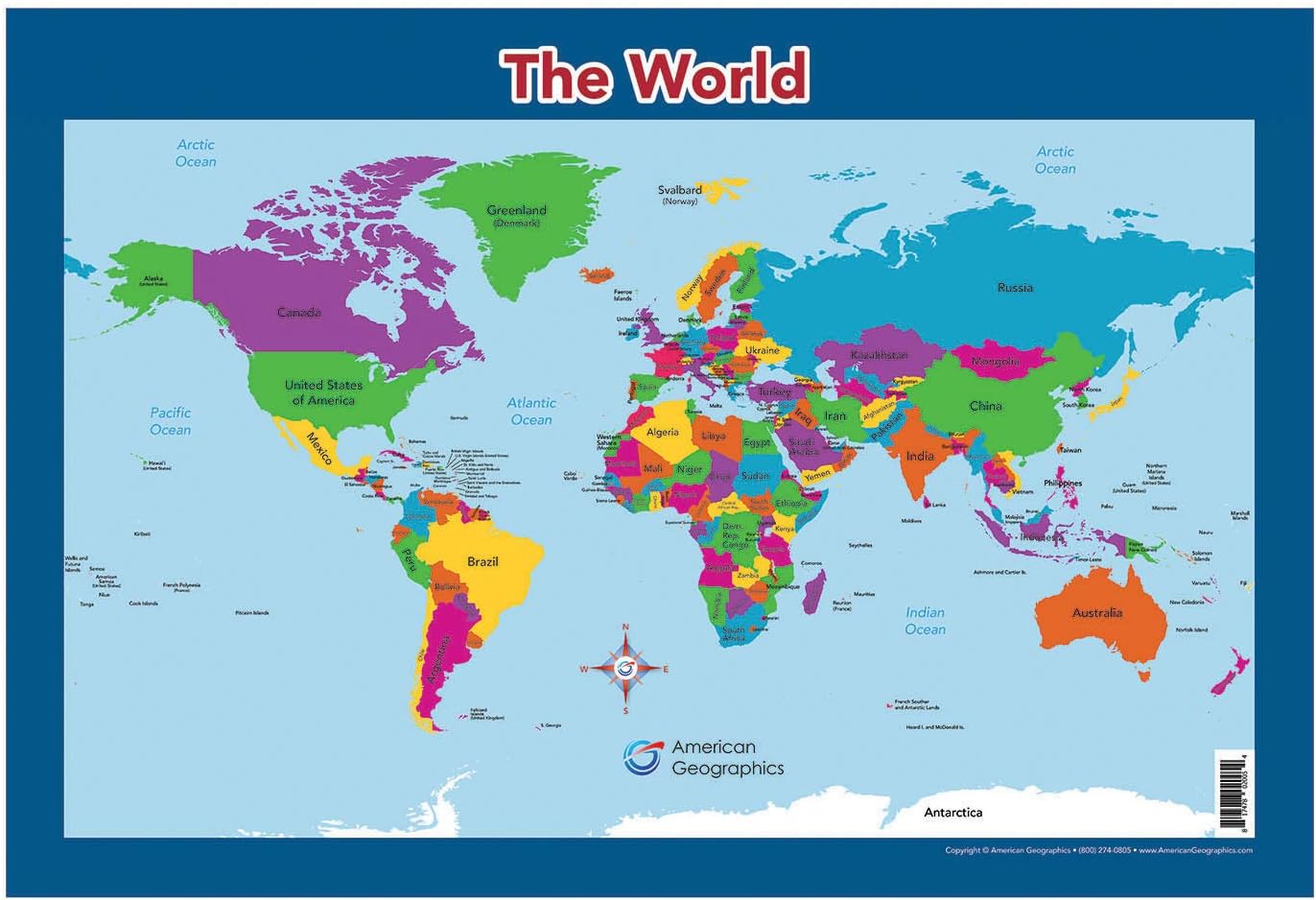
World Map for Kids - World Wall/Desk Map (18" x 26" Laminated)
Maps - World Map for Kids - World Wall/Desk Map (18" x 26" Laminated)

 Maps - Epic Adventure Maps Push Pin World Map Poster 24" x 17" - World Travel Map Marks Your Adventures Around The World - Multicolored Pushpins Included - Travelers Gift - Traveler Wall Decor

USA Interstate Highways Large Wall Map - 36" x 24.75" Paper
Maps - USA Interstate Highways Large Wall Map - 36" x 24.75" Paper

