

Features
48 x 36 inches. Laminated. Flat map, tubed for shipping.
This map of Harris County, Texas shows regional level information. Base map features include highways and major roads with labelling; railways; high level land use such as parks and recreation areas; and a selection of points of interest including transportation hubs like airports and train stations, tourist information and police stations.
ZIP code boundaries are shown as a secondary map feature. Scale 1:95,000
Details
Looking for a detailed map of Harris County, Texas? Look no further! Our Harris County map is the perfect addition to your home or office. Measuring 48" x 36" and laminated for durability, this wall map is designed to last. Whether you're a resident of Harris County or just visiting, this map will provide you with all the information you need to navigate the area.
With its flat design and tube packaging, you can be assured that your map will arrive in pristine condition. No more worrying about creases or tears! Our high-quality laminated map ensures that you will have a clear view of all the important details. From highways and major roads to railways and land use, this map has it all.
Planning a trip to Harris County? Our map includes a selection of points of interest such as airports, train stations, tourist information centers, and police stations. This makes it easy for you to find your way around and explore all the attractions that Harris County has to offer.
ZIP code boundaries are also shown as a secondary map feature, providing you with an even more detailed view of the county. With a scale of 1:95,000, you'll be able to see every street, neighborhood, and landmark with the utmost accuracy.
Don't miss out on the opportunity to own this incredible Harris County map. Click here to get yours today and start exploring!
Discover More Best Sellers in Maps
Shop Maps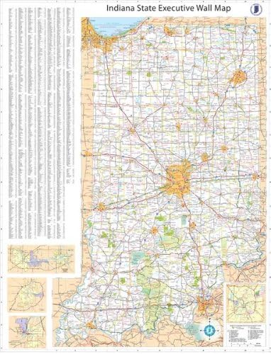
36x54 Indiana State Official Executive Laminated Wall Map

 Maps - 36x54 Indiana State Official Executive Laminated Wall Map


Indiana State Wall Map - 20.5" x 26" Laminated
Maps - Indiana State Wall Map - 20.5" x 26" Laminated

50 States USA Photo Map - Frame Optional - Made in America (Printed Map, White Frame)
Maps - 50 States USA Photo Map - Frame Optional - Made in America (Printed Map, White Frame)
 Maps - Laminated World Pioneer Map Poster | Vintage Style Map | Includes The Most Legible Location Labels | 36” x 24” | Shipped Rolled in a Tube, Not Folded | Great for The Home or Classroom

Cool Owl Maps Pennsylvania State Wall Map Poster Rolled 34"Wx24"H (Paper)
Maps - Cool Owl Maps Pennsylvania State Wall Map Poster Rolled 34"Wx24"H (Paper)
 Maps - Enjoy The Wood 3D Wood World Map Wall Art Large Wood Wall Décor Housewarming Gift Idea Art World Travel Map For Home & Kitchen or Office (Flags Push Pins, Pins)
 Maps - Wisconsin State Parks Bucket List Poster Gift Set - Features 12x18” Map of Wisconsin’s State Parks, Includes Natural Wood Magnetic Frame and Set of Pushpins - Great Travel Wisconsin Gift, Christmas Gift for Men

![Maps - 2 Pack - Laminated World Map & US Map Poster Set - Wall Chart Map of the World & United States - Made in the USA [Black]](https://images-na.ssl-images-amazon.com/images/I/A1RZPj-J+RL._AC_SL1500_.jpg)