

Features
Details
Welcome to the ultimate guide to the great state of Indiana! Introducing our Indiana State Wall Map, a must-have for anyone who wants to explore the beauty and wonders of the Hoosier State. Measuring at 20.5" x 26", this laminated map is not only visually stunning but also incredibly durable, ensuring that it will stand the test of time.
With its vibrant colors and easy-to-read design, this map is a treasure trove of information. It features all major thoroughfares, secondary roads, and freeway interchanges, allowing you to navigate the state with ease. No need to worry about missing out on any rest areas or landmarks - they're all clearly marked for your convenience.
But that's not all! Our Indiana State Wall Map goes above and beyond by providing shaded relief, giving you a three-dimensional sense of the state's topography. Whether you're a nature enthusiast or simply appreciate the beauty of the land, this feature will surely leave you awe-inspired.
What sets our map apart from the competition is its attention to detail. We've included detailed city inset maps for Bloomington, Elkhart, Evansville, Fort Wayne, Indianapolis, Lafayette, Muncie, South Bend, and Terre Haute. We understand that every traveler has unique needs, and we want to ensure that you have the most accurate and up-to-date information to make the most of your journey.
Last but not least, our Indiana State Wall Map includes an inset of downtown Indianapolis, providing must-see information on the central business district. Whether you're a business traveler or simply curious about the heart of the state capital, this feature is a game-changer.
Don't miss out on this incredible opportunity to explore Indiana like never before. Order your Indiana State Wall Map today and start planning your next adventure!
Click here to order your Indiana State Wall Map now!
Discover More Best Sellers in Maps
Shop Maps
 Maps - Maps International Large Political Europe Educational Wall Map Poster - Front Sheet Laminated - 33.1 x 46.8 inches

Painless Learning Laminated Educational Placemats for Kids: US Presidents, USA Map, World Map
 Maps - Painless Learning Laminated Educational Placemats for Kids: US Presidents, USA Map, World Map

Cool Owl Maps Mexico Wall Map Poster - Rolled 28"x24" (Laminated)
Maps - Cool Owl Maps Mexico Wall Map Poster - Rolled 28"x24" (Laminated)

Gifts Delight Laminated 23x13 Poster Caribbean General map
Maps - Gifts Delight Laminated 23x13 Poster Caribbean General map
 Maps - Scratch Off World and USA Travel Map XL Poster w Precision Scratch Tools 33" x 23" –197 Countries/Flags w Detailed Cartography, Great Wall Decor, Gift

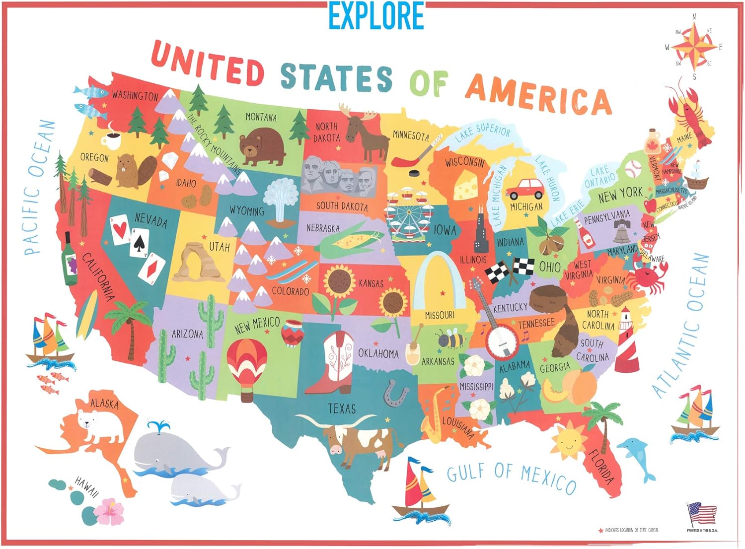
Swiftmaps 18x24 United States USA US Children's Wall Map Mural Poster Laminated for Kids
Maps - Swiftmaps 18x24 United States USA US Children's Wall Map Mural Poster Laminated for Kids

Denver, Colorado Wall Map, Large - 22.75" x 19.5" Paper
 Maps - Denver, Colorado Wall Map, Large - 22.75" x 19.5" Paper

