
Features
Regularly updated, full-color maps
26% larger map with a bigger type size than the Rand McNally Folded Map
Clearly labeled Interstate, U.S., state, and county highways
Indications of county boundaries, schools, shopping malls, parks, golf courses, hospitals, airports, and points of interest
Mileage and driving times map
Detailed index
Copyright 2021
Coverage Area Detailed maps of: Akron, Canton, Cincinnati, Downtown Cincinnati, Cleveland & Vicinity, Downtown Cleveland, Columbus, Cuyahoga Valley National Park, Dayton, Springfield, Toledo, Youngstown/Warren
Discover More Best Sellers in Maps
Shop Maps
36x48 Georgia State Official Executive Laminated Wall Map

 Maps - 36x48 Georgia State Official Executive Laminated Wall Map


24x36 World and USA Classic Premier 3D Two Wall Map Set (Laminated)
Maps - 24x36 World and USA Classic Premier 3D Two Wall Map Set (Laminated)
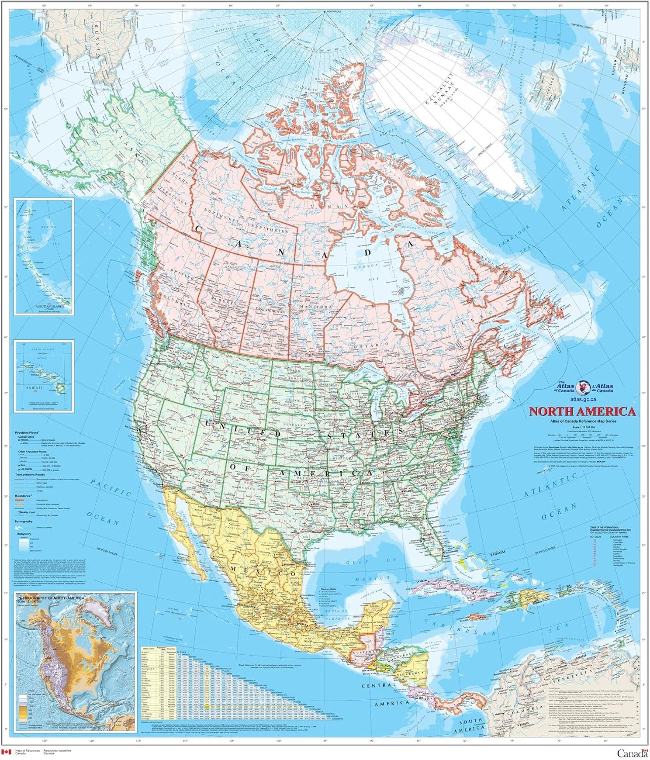
North America Wall Map - Atlas of Canada - 34" x 39" Laminated
Maps - North America Wall Map - Atlas of Canada - 34" x 39" Laminated
 Maps - Waypoint Geographic Contemporary Series USA Wall Map, Laminated World Map Poster, Educational Wall Art For Home, Classroom, or Office, Unique Gifts, 48” x 38”
 Maps - Home Comforts San Francisco Bay Area Map - 17 Inch by 22 Inch Laminated Poster With Bright Colors And Vivid Imagery-Fits Perfectly In Many Attractive Frames
 Maps - USA Photo Map - Travel Map Sticker Collage - 24 x 36” - Made in USA (Dark Blue, Pine Wood Frame Hanger)
 Maps - South Carolina State Parks Bucket List Poster Gift Set - Features 12x18” Map of South Carolina State and National Parks, Magnetic Frame and Set of Pushpins - Great South Carolina Gift, Unique Mens Gifts

