
Features
Regularly updated, full-color maps
45% larger map with a bigger type size than the Rand McNally Folded Map
Clearly labeled Interstate, U.S., state, and county highways
Indications of county boundaries, schools, shopping malls, parks, golf courses, hospitals, airports, and points of interest
Mileage and driving times map
Detailed index
Copyright 2024
Coverage Area Detailed maps of: Ann Arbor, Detroit & Vicinity, Downtown Detroit, Flint, Grand Rapids, Kalamazoo, Lansing, Muskegon, Saginaw
Discover More Best Sellers in Maps
Shop Maps


 Maps - Travelization XL Scratch Off World Map with 196 Country Flags 36" x 24" Frameable World Map with Vibrant Colors and Premium Gold Coating, Beautiful Scratch Map for Travelers, Black
 Maps - Waypoint Geographic Contemporary Series USA Wall Map, Laminated World Map Poster, Educational Wall Art For Home, Classroom, or Office, Unique Gifts, 48” x 38”

Cool Owl Maps Texas State Wall Map Poster Rolled (Laminated 24"x25")
Maps - Cool Owl Maps Texas State Wall Map Poster Rolled (Laminated 24"x25")
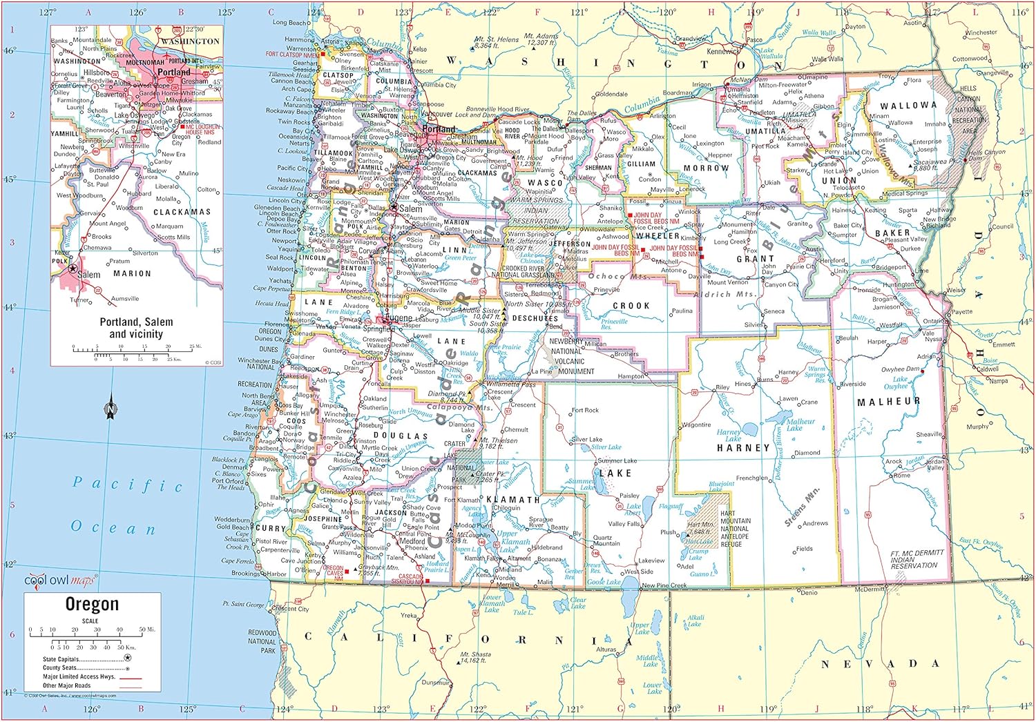
Cool Owl Maps Oregon State Wall Map Poster Rolled (Paper 34"x24")
Maps - Cool Owl Maps Oregon State Wall Map Poster Rolled (Paper 34"x24")
 Maps - Large Blue Ocean World Wall Map | 36x24 - Detailed World Wall Map | 2020 World Map Poster - Non-Laminated World Map | Academia Maps
 Maps - World Map Poster with Pins for Travel Tracking | Laminated Push Pin Travel Map Poster for travel tracking (53 x 40)
 Maps - Updated Peters Projection World Map | Laminated 36" x 24” Map | Developed by Arno Peters | Most Proportionally-Accurate Land Mass Depiction | Country Size & Scale is True, Unlike Most Maps | Major Countries, Cities, & Bodies of Water Labeled

