
Israel with West Bank and Gaza Strip disputed territories - Detailed Political Wall Map Poster Large Print Rolled 24W"x38"H - Laminated

$32.99
Description
Book Synopsis: Unique, full color, and detailed this political map of "Israel, including the West Bank and Gaza Strip disputed territories" features geographic detail and accuracy. The map shows state boundaries, selection of roads, railroads, place names, ruins, International Airports, bodies of water, and more. Perfect for Schools, Home, Office or Home Schooling.
Details
Looking for a one-of-a-kind wall map that combines accuracy and detail? Look no further than our Israel with West Bank and Gaza Strip disputed territories - Detailed Political Wall Map Poster! With its unique full-color design, this map captures the essence of Israel's geography like no other. Whether you're a student looking to study the region or an office professional in need of a visually stunning backdrop, this map is perfect for schools, homes, or offices.
Not only does this map display state boundaries, but it also includes a selection of roads, railroads, place names, ruins, international airports, and bodies of water. You can truly immerse yourself in the land of Israel and explore its various features at a glance. The accuracy and attention to detail in this map will leave you impressed and satisfied with your purchase.
Are you a teacher searching for the perfect educational tool? This map is an ideal addition to any classroom. Its large print and laminated finish make it easy to read and durable enough to withstand daily use. Your students will appreciate the clear labeling and the ability to visualize Israel's political landscape.
Home schooling your children? Our Israel with West Bank and Gaza Strip disputed territories map is a must-have resource for your curriculum. By displaying this map in your study area, you'll create an immersive learning environment that engages and educates your children about the region's geography and political boundaries. Learning has never been this exciting!
Don't settle for generic maps that lack accuracy and detail. Order our Israel with West Bank and Gaza Strip disputed territories - Detailed Political Wall Map Poster today and elevate your understanding of this fascinating region. Enhance your knowledge, decorate your space, and inspire your students or children. Take advantage of this opportunity to own a high-quality map that captures the essence of Israel. Click here to order now!
Discover More Best Sellers in Maps
Shop Maps

 Maps - National Geographic Europe Wall Map - Executive (30.5 x 23.75 in) (National Geographic Reference Map)
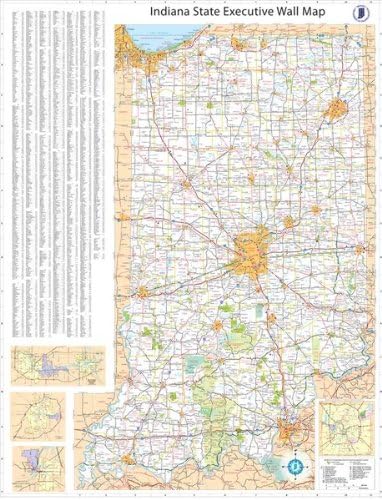
36x54 Indiana State Official Executive Laminated Wall Map
 Maps - 36x54 Indiana State Official Executive Laminated Wall Map

Garmin Delorme Atlas & Gazetteer Paper Maps- Wisconsin (010-12664-00)
Maps - Garmin Delorme Atlas & Gazetteer Paper Maps- Wisconsin (010-12664-00)

Maps International - Scratch Off USA Map Golf Print - Gifts for Golfers - 17 x 22 inches
Maps - Maps International - Scratch Off USA Map Golf Print - Gifts for Golfers - 17 x 22 inches

 Maps - Gifts Delight Laminated 29x24 Poster: Road Map - Large Detailed Roads and Highways map of Louisiana State with All citiesMaps of

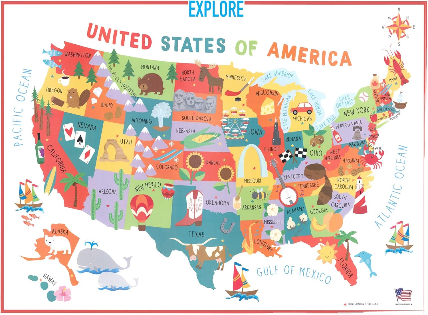
Swiftmaps 18x24 United States USA US Children's Wall Map Mural Poster Laminated for Kids
Maps - Swiftmaps 18x24 United States USA US Children's Wall Map Mural Poster Laminated for Kids

2 Pack - World Map for Kids + Blue Ocean World Map (Laminated, 18" x 29")
Maps - 2 Pack - World Map for Kids + Blue Ocean World Map (Laminated, 18" x 29")
 Maps - Wooden World Map 3D Art Large Wall Decor - Size (M, L, XL) Any Occasion Gift Idea - Wall Art For Home, Kitchen or Office (SIZE M, COFFEE)
