
Dekali Designs Kids World Map Coloring Poster - 35 x 52 Inches Jumbo Coloring Poster With World Flags for Classroom, Home, Birthday Parties or Other Events

$14.95
Features
LEARN THE COUNTRY FLAGS - As you color look at the flags of the world to learn them passively
INCLUDES FULL COLOR PICTURE - Pin up the included full color version of the picture on your wall
PREMIUM DRAWING PAPER - Thick 120 lb drawing paper will not bleed through – ok to put on table
USE MARKERS, CRAYONS OR COLORED PENCILS - Choose whatever coloring tool, all work fine on this paper
MAKES A NICE GIFT - Packaged in a nice, giftable folder with the full-color poster on the front
Details
Looking for an exciting and educational activity for your little ones? Look no further than the Dekali Designs Kids World Map Coloring Poster! Measuring a whopping 35 x 52 inches, this jumbo coloring poster is perfect for group activities at home or in the classroom.
But it's not just a regular coloring poster. As your child colors in the intricate details of this world map, they'll have the opportunity to learn the country flags - a fun and educational way to passively acquire knowledge. With the included full-color picture, they can easily refer to it and pin it up on their wall for a handy reference.
Not only is this poster fun and educational, but it is also made with premium drawing paper. The thick 120 lb paper ensures that markers, crayons, or colored pencils won't bleed through, giving your child the freedom to choose their favorite coloring tool without worrying about ruining the table underneath.
The Dekali Designs Kids World Map Coloring Poster also makes a great gift. Packaged in a nice, giftable folder with the full-color poster on the front, it's perfect for birthdays, holidays, or any special occasion. Give the gift of creativity and knowledge!
Ready to embark on an exciting coloring adventure? Get your Dekali Designs Kids World Map Coloring Poster now and let your child's imagination soar! Click here to order.
Discover More Best Sellers in Maps
Shop Maps
 Maps - National Geographic Europe Wall Map - Executive (30.5 x 23.75 in) (National Geographic Reference Map)

 Maps - National Geographic Colorado Wall Map - Laminated (40.5 x 30.25 in) (National Geographic Reference Map)

36x52 Ohio State Official Executive Laminated Wall Map
Maps - 36x52 Ohio State Official Executive Laminated Wall Map
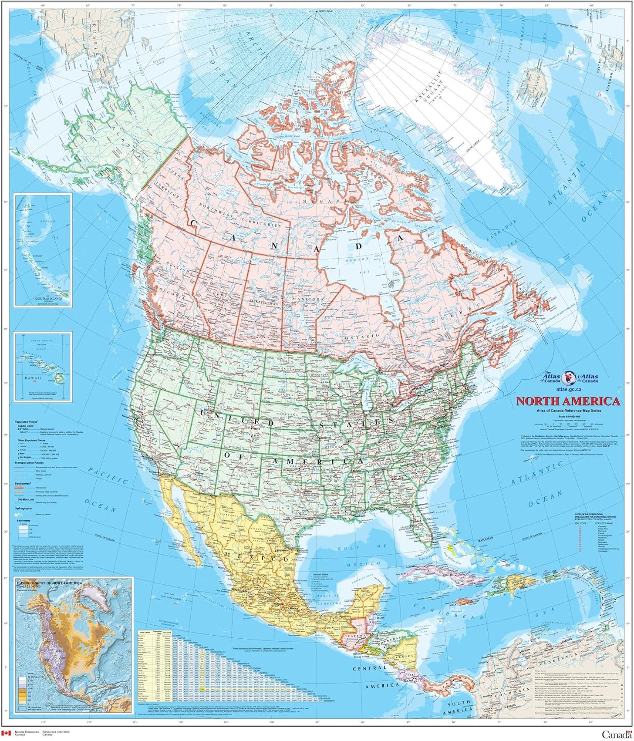
North America Wall Map - Atlas of Canada - 34" x 39" Laminated
Maps - North America Wall Map - Atlas of Canada - 34" x 39" Laminated

24x36 World Wall Map by Smithsonian Journeys - Tan Oceans Special Edition (24x36 Laminated)
Maps - 24x36 World Wall Map by Smithsonian Journeys - Tan Oceans Special Edition (24x36 Laminated)

Gifts Delight Laminated 24x24 Poster: Resource Map - Egypt - Resources and Activities - WCBC
Maps - Gifts Delight Laminated 24x24 Poster: Resource Map - Egypt - Resources and Activities - WCBC
 Maps - United States USA Wall Map 39.4" x 27.5" State Capitals Cities State & International Boundaries Major Rivers Lakes Timeline

Cool Owl Maps South Carolina State Wall Map Poster Large Print Rolled 30"Wx24"H - Laminated
Maps - Cool Owl Maps South Carolina State Wall Map Poster Large Print Rolled 30"Wx24"H - Laminated
 Maps - Where It All Began Map , Map For Couple , Engagement Map , Gift For Boyfriend , Framed Map Prints , Gift For Husband , Address Map Print, 24 x 36 Inch
