
Laminated World Scholar Map Poster | Educational Elementary School Version | Easy-to-Read Large Labels | 36” x 24” | Shipped in a Tube, Not Folded | Great for The Home or Classroom

$29.99
Description
Book Synopsis: South of Kings World Scholar Map Designed and Printed at the Map Shop in Charlotte, NC The Map Shop’s goal is simple. We want to inspire adventure, connect customers to past memories, and offer a better understanding of our world. We developed this 36” x 24” World Scholar Map in-house so we’d have complete control over the cartography and design of the map. The result is a map that is as much fine art as it is a geographic reference. The color palette, font families, and graphic elements elevate the look of this map beyond all others. The World Scholar Map features a bright blue marine color (oceans, lakes, and rivers) and a fun primary color scheme for the countries. This classic style will look great in home, and school environments. Clear, large, and easy-to-read labels make this perfect for educational uses in elementary schools or home schools. Continents, countries, county capitals, marine areas and geographic lines are labeled. Accuracy is our first priority and our maps are always up-to-date with the recent geographic changes and we’re constantly updating the data. This map is laminated and is shipped in a cardboard tube. It is NOT folded so there are NO creases in the map. We have several different style of our world maps available so be sure to check out the other titles as well. We’re a family-run small-business and we sincerely appreciate you being our customer!
How is my order shipped? Maps are shipped rolled, not folded.
Lifetime Money-Back Satisfaction Guarantee! If you aren’t completely satisfied with your order, simply reach out to us through the Amazon messaging service and we will reply quickly. We absolutely guarantee your satisfaction or your money back!
Read more
Details
Looking for an educational and eye-catching map poster? Look no further! Introducing our Laminated World Scholar Map Poster. This large 36" x 24" map is designed to inspire adventure and offer a comprehensive understanding of our world. With easy-to-read labels and a vibrant color scheme, this map is perfect for both the home and the classroom.
At The Map Shop in Charlotte, NC, we take pride in creating maps that are not only accurate but also visually appealing. Our in-house team of cartographers and designers have carefully chosen the color palette, font families, and graphic elements to make this map a true work of art. The result is a map that stands out from the rest, making it a great addition to any environment.
One of the key features of our World Scholar Map is its extensive labeling. With clear and large labels for continents, countries, county capitals, marine areas, and geographic lines, this map is ideal for educational purposes, especially in elementary schools and home schools. We are committed to keeping our maps up-to-date with the latest geographic changes, ensuring accuracy at all times.
When it comes to shipping, we go above and beyond to ensure your satisfaction. Unlike other maps that arrive folded and creased, our World Scholar Map is shipped in a sturdy cardboard tube, guaranteeing that it arrives in perfect condition. We also offer a lifetime money-back satisfaction guarantee, so if you're not completely happy with your order, simply reach out to us and we'll make it right.
Don't miss out on the opportunity to own this beautiful and educational map poster. Order now and let the world come to life in your home or classroom! Click here to place your order.
Discover More Best Sellers in Maps
Shop Maps

World Voyage Planner: Planning a Voyage from Anywhere in the World to Anywhere in the World
 Maps - World Voyage Planner: Planning a Voyage from Anywhere in the World to Anywhere in the World

 Maps - ImageAbility North America Laminated Gloss Time Zone Area Code Map with Reverse Lookup, Desk Size 11 by 17 Inches
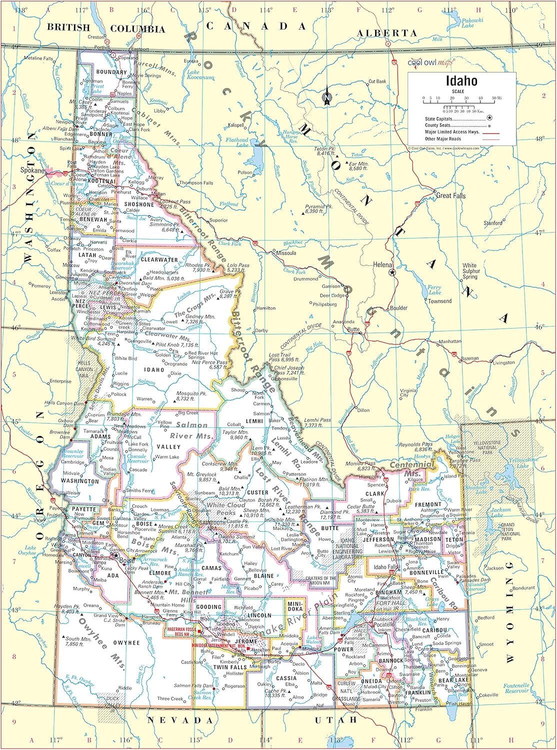
Cool Owl Maps Idaho State Wall Map Poster Rolled 24"Wx32"H (Laminated)
Maps - Cool Owl Maps Idaho State Wall Map Poster Rolled 24"Wx32"H (Laminated)

XXL USA Map Premium Poster Giant America Map with all States 55" x 39" MAPS IN MINUTESÙ (55"x39")
Maps - XXL USA Map Premium Poster Giant America Map with all States 55" x 39" MAPS IN MINUTESÙ (55"x39")
![Maps - 3 Pack - Solar System Poster + Periodic Table of The Elements for Kids + World Map Chart [Blue Ocean] (LAMINATED, 18](https://images-na.ssl-images-amazon.com/images/I/91tUgRnoENL._AC_SL1500_.jpg) Maps - 3 Pack - Solar System Poster + Periodic Table of The Elements for Kids + World Map Chart [Blue Ocean] (LAMINATED, 18" x 24")
Maps - 3 Pack - Solar System Poster + Periodic Table of The Elements for Kids + World Map Chart [Blue Ocean] (LAMINATED, 18" x 24")

2 Pack - USA Map for Kids + Blue Ocean World Map (Laminated, 18" x 29")
Maps - 2 Pack - USA Map for Kids + Blue Ocean World Map (Laminated, 18" x 29")

West Virginia Counties Map - Standard - 36" x 26" Laminated
 Maps - West Virginia Counties Map - Standard - 36" x 26" Laminated

