
National Geographic: North American Indian Cultures Wall Map - 23.25 x 35.75 inches - Laminated

$39.99
Features
Details
Introduce your students to the fascinating world of North American Indian cultures with the National Geographic: North American Indian Cultures Wall Map. Designed specifically for classrooms, this map is the perfect tool to build cultural awareness and help students understand the richness of pre-colonial Indigenous culture. As an added benefit, this map is a unique National Geographic product that offers a comprehensive view of the peoples of pre-colonial North America.
With its laminated finish, this map provides both durability and functionality. You can easily highlight areas of interest on the map using dry erase markers and wipe them off when you're done. No more worries about tears, folds, or spills ruining your valuable educational resource. The glossy laminate finish ensures that this map will last for years of classroom use.
When it comes to cartography, National Geographic sets the standard. You can trust that this map, like all National Geographic products, delivers the highest quality content and display in the industry. With iconic cartography, your students will be immersed in the world of North American Indian cultures as they explore this visually stunning map.
Don't miss out on this opportunity to enhance your students' learning experience. Grab the National Geographic: North American Indian Cultures Wall Map today and discover the wonders of pre-colonial Indigenous culture. Click here to get yours now!
Discover More Best Sellers in Maps
Shop Maps
Rand McNally Folded Map: Tampa and St. Petersburg Regional Map
 Maps - Rand McNally Folded Map: Tampa and St. Petersburg Regional Map
 Maps - ImageAbility North America Laminated Gloss Time Zone Area Code Map with Reverse Lookup, Desk Size 11 by 17 Inches

CoolOwlMaps World Wall Map Political with Flags Poster 36x24 Rolled Laminated
Maps - CoolOwlMaps World Wall Map Political with Flags Poster 36x24 Rolled Laminated

Cool Owl Maps Arizona State Wall Map Poster Rolled (Laminated 24"x30")
Maps - Cool Owl Maps Arizona State Wall Map Poster Rolled (Laminated 24"x30")
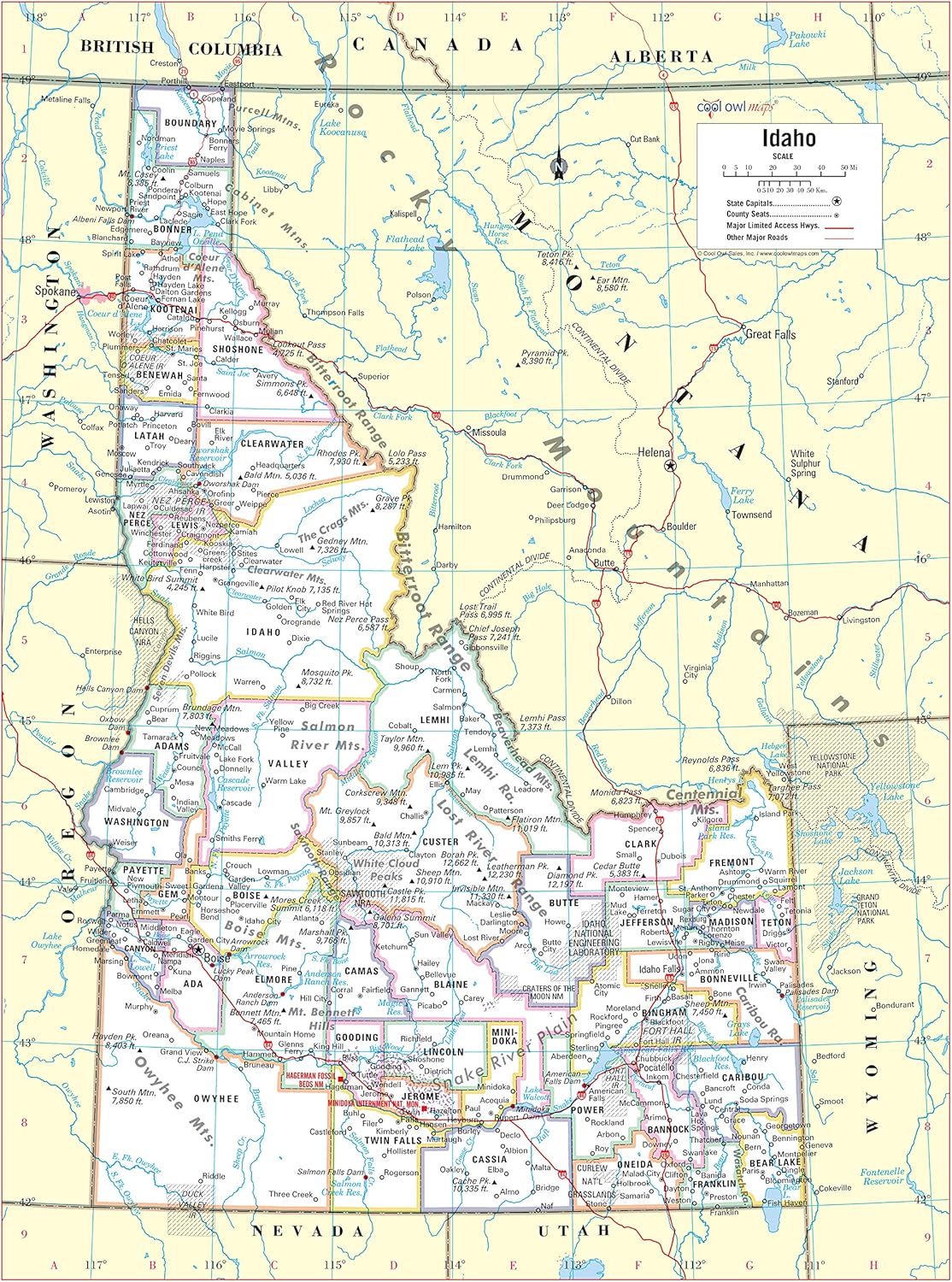
Cool Owl Maps Idaho State Wall Map Poster Rolled 24"Wx32"H (Laminated)
 Maps - Cool Owl Maps Idaho State Wall Map Poster Rolled 24"Wx32"H (Laminated)

Pictorial Poster Map of Ireland - 23.4 x 16.5 inches - Paper Laminated
Maps - Pictorial Poster Map of Ireland - 23.4 x 16.5 inches - Paper Laminated
 Maps - Epic Adventure Maps US National Parks Scratch Off Poster, National Park Posters Reveals Pine Shaped Nature Photographs, Blue with Magnetic Frame, 24 x 17 Inches
![Maps - National Parks Scratch Off Map of United States Poster [Charcoal Grey], ALL 63 Parks, US Travel Map Print, USA Gift for Travelers Road Trip Adventure Journal, Fits 12”x16” frame by Bright Standards](https://images-na.ssl-images-amazon.com/images/I/91At93BtNYL._AC_SL1500_.jpg) Maps - National Parks Scratch Off Map of United States Poster [Charcoal Grey], ALL 63 Parks, US Travel Map Print, USA Gift for Travelers Road Trip Adventure Journal, Fits 12”x16” frame by Bright Standards
Maps - National Parks Scratch Off Map of United States Poster [Charcoal Grey], ALL 63 Parks, US Travel Map Print, USA Gift for Travelers Road Trip Adventure Journal, Fits 12”x16” frame by Bright Standards

