

Features
- Amazingly detailed and beautifully crafted, large-format paper maps for all 50 States
- Topographic maps with elevation contours, Major highways and roads, dirt roads, trails and land use data
- Contains information essential for any outdoor enthusiast, such as points of interest, landmarks, State and national parks, campgrounds, and more (Note: available information varies by State)
- Perfect for sightseeing, exploring back roads, outdoor recreation and trip planning
Details
Looking for a reliable and comprehensive tool to enhance your outdoor adventures? Look no further than the Garmin Delorme Atlas & Gazetteer Paper Maps for South Carolina (010-12693-00). These large-format paper maps are not only amazingly detailed, but they are also beautifully crafted to provide you with the ultimate navigation experience. With topographic maps featuring elevation contours, major highways and roads, dirt roads, trails, and land use data, this map is a must-have for any outdoor enthusiast.
But it doesn't stop there. The Garmin Delorme Atlas & Gazetteer Paper Maps go above and beyond, providing you with essential information to make the most out of your outdoor excursions. Discover points of interest, landmarks, state and national parks, campgrounds, and much more. Whether you are planning a camping trip, embarking on a sightseeing adventure, or simply exploring back roads, these maps have got you covered.
Not only are these paper maps incredibly useful, but they are also an excellent addition to your collection. Designed with meticulous attention to detail, they are beautifully crafted to create an aesthetically pleasing map that you will be proud to own. The large format ensures easy reading and navigation, making them the perfect companion for both experienced explorers and beginners alike.
Don't let the digital era limit your outdoor experiences. Embrace the nostalgia and reliability of paper maps with the Garmin Delorme Atlas & Gazetteer Paper Maps. Get your hands on these amazing maps today and take your outdoor adventures to a whole new level.
Shop now and start exploring!
Discover More Best Sellers in Maps
Shop Maps
Rand McNally Easy to Read: New Jersey State Map
 Maps - Rand McNally Easy to Read: New Jersey State Map

36x54 Illinois State Official Executive Laminated Wall Map
Maps - 36x54 Illinois State Official Executive Laminated Wall Map
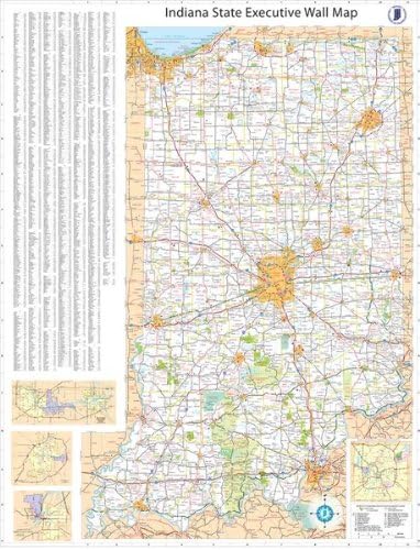
36x54 Indiana State Official Executive Laminated Wall Map
 Maps - 36x54 Indiana State Official Executive Laminated Wall Map

1881 Lonesome Dove/Comanche Moon Wars & Great Cattle Trails Map 2nd Ed. 26"W x 34" H
Maps - 1881 Lonesome Dove/Comanche Moon Wars & Great Cattle Trails Map 2nd Ed. 26"W x 34" H

24x36 United States, USA Contemporary Premier Wall Map Poster (24x36 LAMINATED)
Maps - 24x36 United States, USA Contemporary Premier Wall Map Poster (24x36 LAMINATED)

Houston, Texas Zip Codes - 48" x 36" Matte Plastic Wall Map
Maps - Houston, Texas Zip Codes - 48" x 36" Matte Plastic Wall Map

Phoenix, Arizona Wall Map, Large - 22.75" x 21.5" Laminated
Maps - Phoenix, Arizona Wall Map, Large - 22.75" x 21.5" Laminated

Pictorial Poster Map of Poland - 23.4 x 16.5 inches - Paper Laminated
Maps - Pictorial Poster Map of Poland - 23.4 x 16.5 inches - Paper Laminated

33"x24" Poster Verwaltungskarte Bundeslander Deutschland, Districts of Germany Map【Coated Paper】
Maps - 33"x24" Poster Verwaltungskarte Bundeslander Deutschland, Districts of Germany Map【Coated Paper】
