

Description
Book Synopsis: • Waterproof • Tear-Resistant • Topographic Map
Outdoor enthusiasts seeking to enjoy the year-round recreational opportunities in and around southern Routt National Forest will marvel at National Geographic's Trails Illustrated map of Yampa and Gore Pass. Created in cooperation with the U.S. Forest Service, Bureau of Land Management and others, this expertly researched map delivers unparalleled detail of the area.
Coverage includes Arapaho National Forest, Sarvis Creek Wilderness, Five Pine Mesa, Egeria Park, King Mountain, Gore Range and Red Dirt Reservoir. Let mapped trails guide you off the beaten path and back on again. Trails and Forest Service roads are marked for hiking, cross-country ski, snowmobiles or other motorized use.
To aid in your navigation, the map also includes contour lines, elevations, labeled peaks, summits and passes, water features, areas of wooded cover, selected waypoints and clear color-coded boundaries between different land management agencies. Some of the other recreation features pinpointed are areas for camping, picnicking, climbing, skiing and wildlife viewing. Additionally, wilderness regulations, survival tips, Leave No Trace guidelines and essential contact information is provided.
Every Trails Illustrated map is printed on "Backcountry Tough" waterproof, tear-resistant paper. A full UTM grid is printed on the map to aid with GPS navigation.
Other features found on this map include: Arapaho National Forest, Gore Mountain, Routt National Forest, Sarvis Creek Wilderness.
Map Scale = 1:40,680
Sheet Size = 22" x 32"
Folded Size = 4" x 7.5"
Read more
Details
Are you an outdoor enthusiast looking to explore the beautiful southern Routt National Forest? Look no further than the Yampa, Gore Pass Map from National Geographic. This topographic map is waterproof and tear-resistant, ensuring it can withstand the rigors of any adventure. With unparalleled detail, this map will guide you off the beaten path and back on again. Whether you're hiking, skiing, or snowmobiling, the mapped trails and Forest Service roads will lead the way.
In addition to the extensive trail coverage, this map includes contour lines, elevations, and labeled peaks, summits, and passes. You'll also find water features, areas of wooded cover, and clear color-coded boundaries between different land management agencies. With selected waypoints and recreation features pinpointed, such as camping areas, picnic spots, climbing locations, and wildlife viewing spots, you'll have all the information you need for a memorable outdoor experience.
This Trails Illustrated map is not only informative, but also durable. Printed on "Backcountry Tough" waterproof, tear-resistant paper, you can trust that it will withstand any weather conditions. The addition of a full UTM grid for GPS navigation further enhances its practicality.
Don't miss out on the adventure waiting for you in the southern Routt National Forest. Get your Yampa, Gore Pass Map today and start exploring. Your next thrilling outdoor experience is just a click away. Click here to purchase now!
Discover More Best Sellers in Maps
Shop Maps
Rand McNally Signature Edition World Wall Map – Laminated Rolled
 Maps - Rand McNally Signature Edition World Wall Map – Laminated Rolled

36x48 World Classic Elite Wall Map Laminated Flags of the World
Maps - 36x48 World Classic Elite Wall Map Laminated Flags of the World

Chicago, Illinois Wall Map, Small - 15" x 14.5" Laminated
 Maps - Chicago, Illinois Wall Map, Small - 15" x 14.5" Laminated
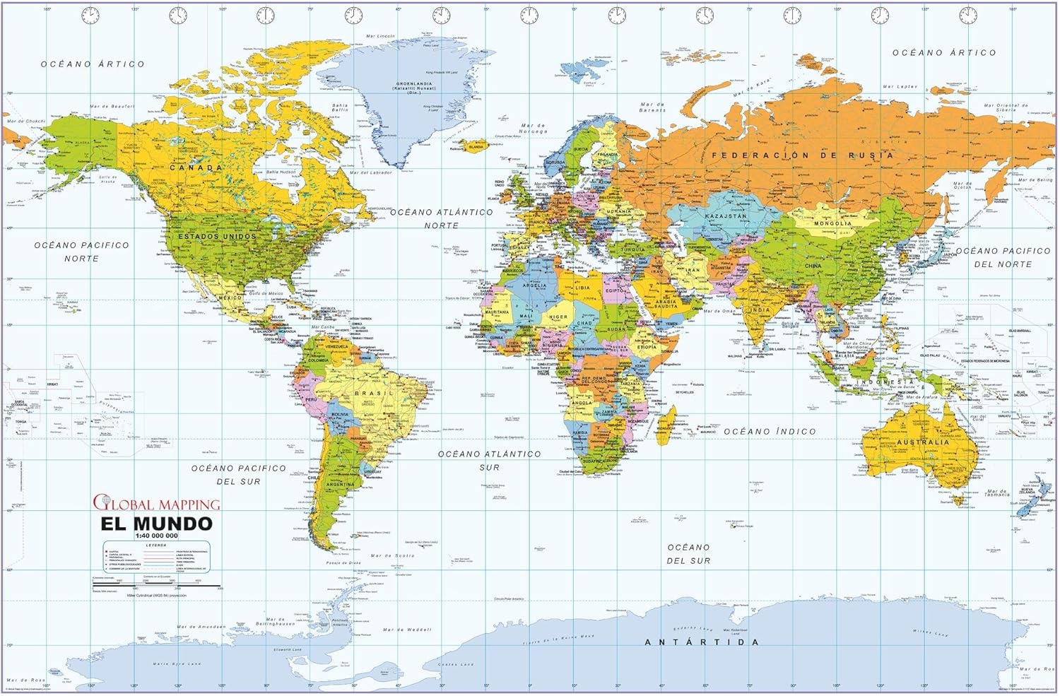 Maps - Political World Wall Map, Spanish Language, Mapa político del mundo, idioma español - 40.75 x 27 inches - Paper - Flat Tubed

 Maps - Antiguos Maps Estado Libre y Soberano de Sinaloa from Atlas Mexicano circa 1884 | Art Print Poster Vintage Wall Decor | 24 x 30 inches (610 x 762 mm)

Cool Owl Maps Iowa State Wall Map Poster Rolled 34"Wx24"H (Laminated)
Maps - Cool Owl Maps Iowa State Wall Map Poster Rolled 34"Wx24"H (Laminated)

 Maps - National Geographic: Russia and The Independent Nations of The Former Soviet Union 1993 - Historic Wall Map Series - 35.5 x 22 inches - Paper Rolled

Los Angeles, California Wall Map, Large - 43" x 29" (Paper)
Maps - Los Angeles, California Wall Map, Large - 43" x 29" (Paper)
 Maps - 29"x24" Heavyweight Photo Quality Paper :: Road Map - Large detailed road and topographical map of Costa Rica. Costa Rica large road and topographical [Laminated]
