
National Geographic: United States Classic Enlarged Wall Map - Laminated (69.25 x 48 inches) (National Geographic Reference Map)

$64.95
Description
Book Synopsis: Expertly researched and designed, National Geographic's United States wall map is the standard by which other reference maps of the U.S. are measured.
Product Features:
- Signature Classic styling with bright, easy to read color palette with blue water and colorful state borders
- All 50 states with insets for Hawaiian Islands and Alaska plus inset showing relative size of Alaska
- Clearly defined state and country boundaries, cities, islands, national parks, and physical features
- Thousands of place names carefully and artfully placed to maintain legibility in heavily populated areas
- Background shows mountain ranges and valleys in subtle shaded relief with mountain ranges labeled
- Major water bodies including rivers, lakes, gulfs, bays, straits, and ocean bathymetry
- Transportation routes including interstate highways, major state routes, airports, waterways, canals, and ferries
- Enlarged maps provide an immersive experience in any home or office environment. The exceptional cartography is even easier to appreciate at the larger size.
- The map is encapsulated in heavy-duty 1.6 mil laminate which makes the paper much more durable and resistant to the swelling and shrinking caused by changes in humidity.
- Laminated maps can be framed without the need for glass, so the frames can be much lighter and less expensive.
- Map Scale = 1:2,815,000
- Sheet Size = 69.25" x 48"
Read more
Details
Looking for the ultimate reference map of the United States? Look no further than National Geographic's United States Classic Enlarged Wall Map! With its expert research and design, this map sets the standard for reference maps of the U.S. It features a signature classic styling with a bright and easy-to-read color palette, including blue water and colorful state borders.
Featuring all 50 states, including insets for the Hawaiian Islands and Alaska, this map also includes a helpful inset showing the relative size of Alaska. Clearly defined state and country boundaries, cities, islands, national parks, and physical features are displayed, allowing you to navigate with ease. With thousands of carefully and artfully placed place names, legibility is maintained even in heavily populated areas.
The background of the map showcases mountain ranges and valleys in subtle shaded relief, with labeled major mountain ranges. Major water bodies including rivers, lakes, gulfs, bays, straits, and ocean bathymetry are also featured. Additionally, transportation routes such as interstate highways, major state routes, airports, waterways, canals, and ferries are included.
At a size of 69.25 x 48 inches, this enlarged map provides an immersive experience in any home or office environment. The exceptional cartography is made even more impressive by the heavy-duty 1.6 mil laminate encapsulation, making the paper durable and resistant to changes in humidity. This means you can frame the map without the need for glass, resulting in lighter and less expensive frames.
Don't miss out on this must-have United States wall map. Explore, learn, and journey into the wonders of the U.S. with National Geographic's unparalleled reference map. Order yours today and embark on a new adventure!
Click here to get your National Geographic: United States Classic Enlarged Wall Map - Laminated (69.25 x 48 inches) (National Geographic Reference Map) now!
Discover More Best Sellers in Maps
Shop Maps
 Maps - Waypoint Geographic Blue Ocean Series USA Wall Map, Laminated World Map Poster, Educational Wall Art For Home, Classroom, or Office, Unique Gifts, 48” x 38”

48x70 Wisconsin State Official Executive Laminated Wall Map
 Maps - 48x70 Wisconsin State Official Executive Laminated Wall Map
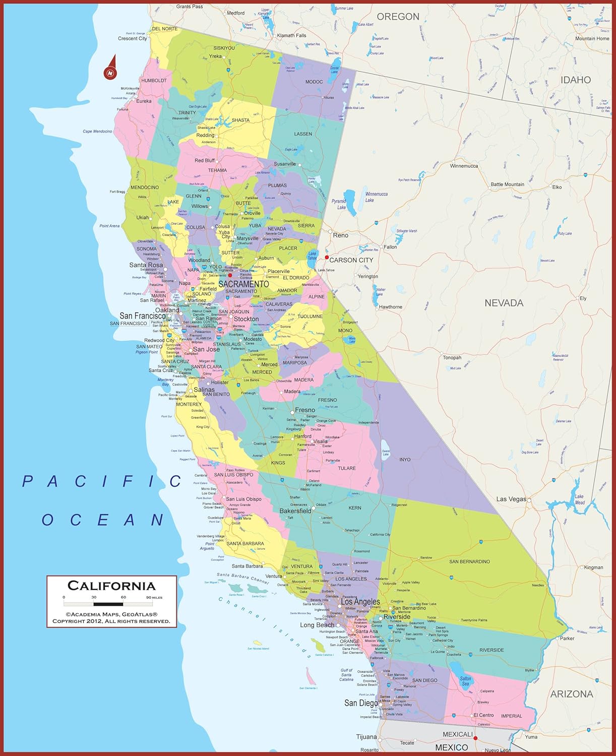 Maps - California State Wall Map | Giant 60x46 Inch Poster with Large, Easy to Read Text | Thick, Durable Lamination - Safe for Use with Wet/Dry Erase Marker

Japan Wall Map Poster 33.11×23.38inch(841mm×594mm) Scale 1/2540000
Maps - Japan Wall Map Poster 33.11×23.38inch(841mm×594mm) Scale 1/2540000
 Maps - Laminated World Odyssey Map Poster | Executive Style Map | Includes The Most Legible Location Labels | 36” x 24” | Shipped Rolled in a Tube, Not Folded | Great for The Home or Classroom

 Maps - USA Push Pin Map 24" x 17" - USA Poster to Mark Your Adventures Around The USA - Travel Camping Gift - Camper Decor (Framed Beige)

USA Interstate Highways Large Wall Map - 36" x 24.75" Paper
Maps - USA Interstate Highways Large Wall Map - 36" x 24.75" Paper

2 Pack - World Map for Kids + Blue Ocean World Map (Laminated, 18" x 29")
Maps - 2 Pack - World Map for Kids + Blue Ocean World Map (Laminated, 18" x 29")

