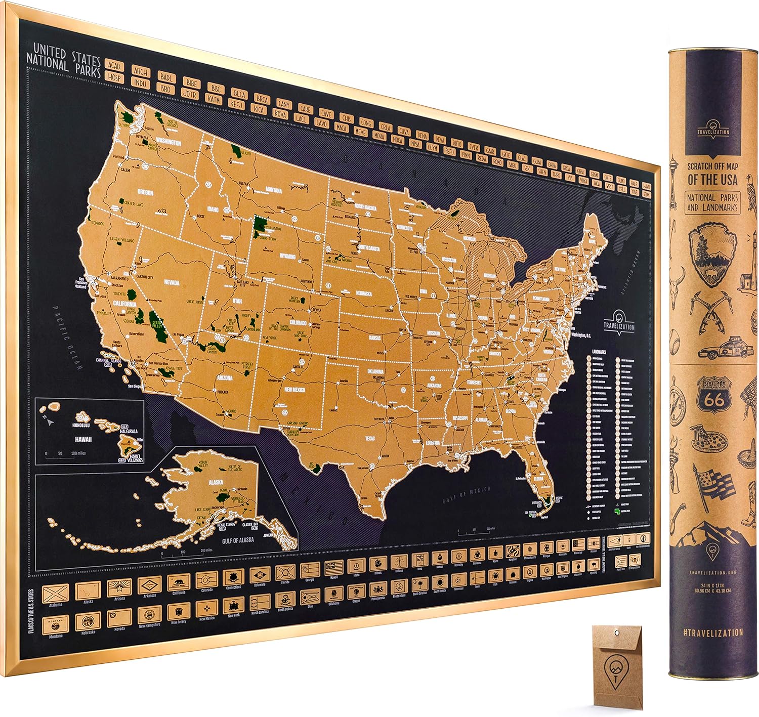
Description
Book Synopsis: Easy To Read: Florida State Map Rand McNally's Easy To Read State Folded Map is a must-have for anyone traveling in and around Florida,
Details
Heading to Florida for your next adventure? Make sure you have the Easy To Read: Florida State Map from Rand McNally! This essential travel companion offers unbeatable accuracy and reliability at an amazing price. With our trusted cartography, you'll have all the information you need, including Interstate, U.S., state, and county highways. Plus, easily locate parks, points of interest, airports, county boundaries, and streets with our user-friendly legend and detailed index. Trust Rand McNally, the industry standard for years!
Don't settle for small, hard-to-read maps! Our Easy To Read: Florida State Map features a larger map with a bigger type size compared to the Rand McNally Folded Map. You won't miss a single detail as you navigate through the Sunshine State. Whether you're exploring the stunning beaches of Daytona Beach, discovering the vibrant city of Miami, or taking a trip to the magical world of Disney in Orlando, our map will guide you every step of the way.
Planning a road trip? Our Easy To Read: Florida State Map includes a mileage and driving times map, making it easier than ever to plan your journey. No more guessing how long it will take to reach your destination! Simply consult our detailed index, fold the map to a convenient size, and hit the road with confidence. You'll be amazed by how convenient and efficient our map is.
Ready to embark on your Florida adventure? Don't leave home without the Easy To Read: Florida State Map from Rand McNally. Get yours today and experience the unbeatable accuracy, reliability, and convenience that have made Rand McNally folded maps the trusted standard for years. Start exploring Florida like never before!
Click here to get your Easy To Read: Florida State Map now!
Discover More Best Sellers in Maps
Shop Maps
Columbia River Gorge West, OR No. 428S (Green Trails Maps)

 Maps - Columbia River Gorge West, OR No. 428S (Green Trails Maps)

1881 Lonesome Dove/Comanche Moon Wars & Great Cattle Trails Map 2nd Ed. 26"W x 34" H
Maps - 1881 Lonesome Dove/Comanche Moon Wars & Great Cattle Trails Map 2nd Ed. 26"W x 34" H

 Maps - National Geographic: Russia and The Independent Nations of The Former Soviet Union 1993 - Historic Wall Map Series - 35.5 x 22 inches - Laminated

 Maps - National Geographic: Countries of the Mediterranean Classic Wall Map - 30.25 x 23.5 inches - Art Quality Print

Pilot FRIXION POINT KNOCK Biz Marble Pink LFPK-3SS4-MAP
Maps - Pilot FRIXION POINT KNOCK Biz Marble Pink LFPK-3SS4-MAP
 Maps - Hubbard Scientific 3D Glacier National Park 416 Map | A True Raised Relief Map - You Can Feel the Terrain | Vacuum-formed Molded Map | 18.5” x 24.5” | Detailed Topography
 Maps - Hubbard Scientific 3D San Francisco Bay SF2225 Map | A True Raised Relief Map - You Can Feel the Terrain | Vacuum-formed Molded Map | 22” x 25” | Detailed Topography